
Seminar
Mangrove Species Classification and Leaf Area Index Estimation from Passive Optical Imagery and Active LiDAR Data in Mai Po Nature Reserve, Hong Kong
-
Date
November 2,2021
-
Time
3:30PM - 4:20PM
-
Venue
JL104
-
Speaker
Dr. Qiaosi LI Department of Earth Sciences, HKU
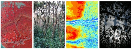
Understanding species distribution, canopy structure, and biophysical parameters of mangrove forests are essential for mangrove conservation. However, most mangrove studies focused on the top canopy layer without exploring the vertical structure of mangroves. This study presents the method for mangrove mapping and leaf area index (LAI) estimation which considered both overstory and understory distribution by using multispectral WorldView-3 (WV-3) and Sentinel-2 images, airborne hyperspectral imagery (HSI), and LiDAR point cloud. LiDAR structural information was superior on the forest components mapping. The synergetic use of structural information and optical properties improved the accuracy of species mapping and LAI retrieval. The proposed method and results improved the understanding of understory distribution and LAI quantification of each mangrove forest component, which will have broad impact on multi-layer forest studies in general.
Additional information: Dr. Qiaosi LI, qiaosili@hku.hk